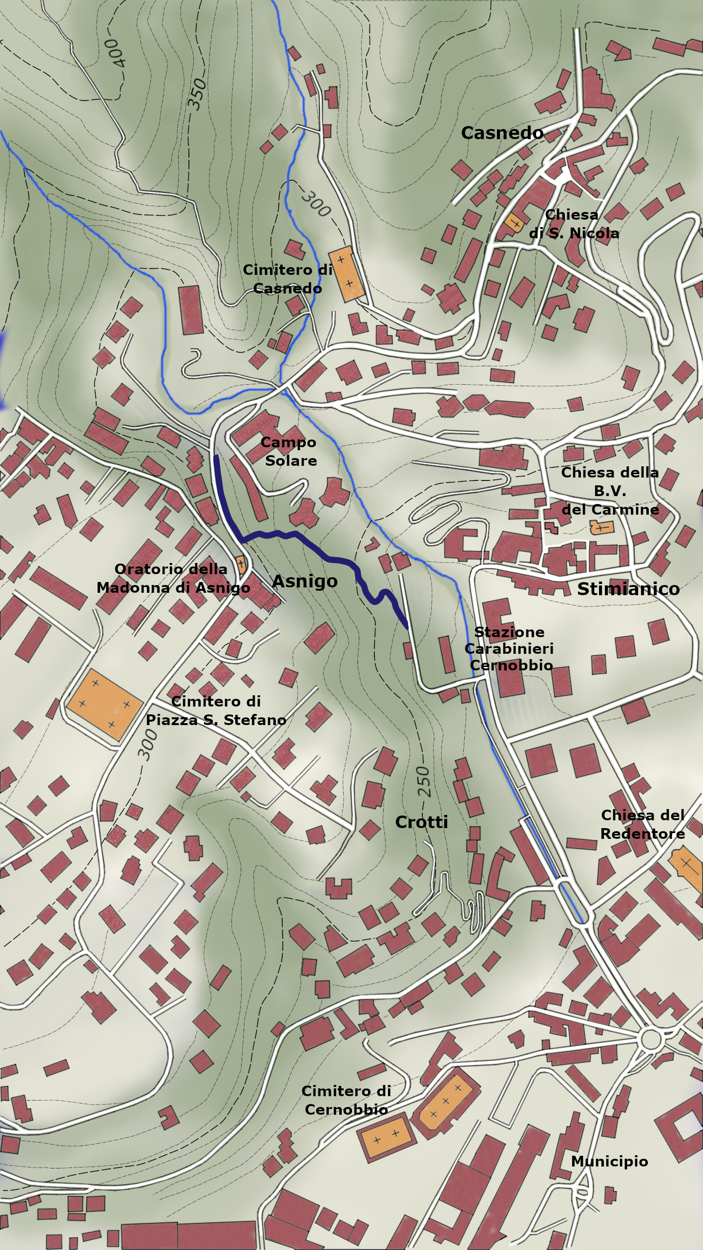
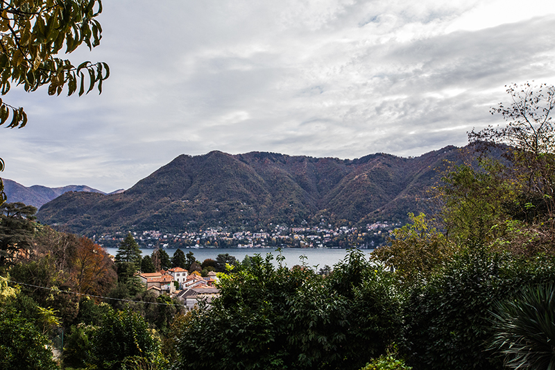
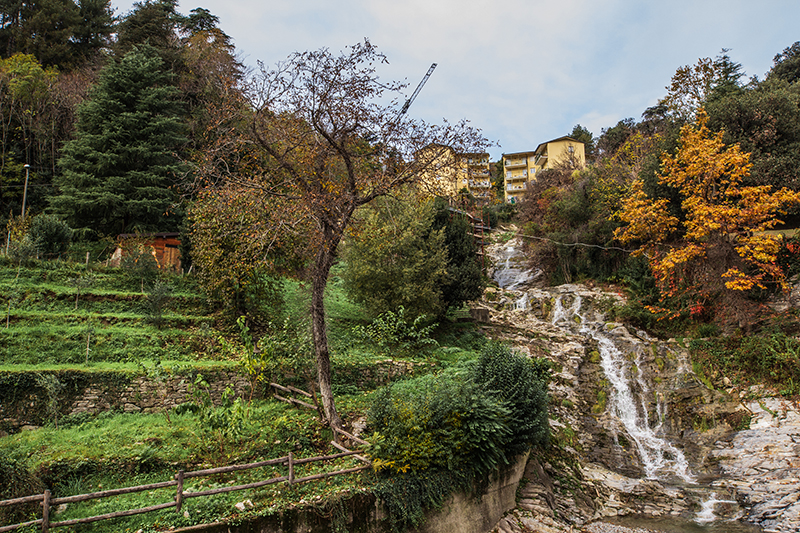
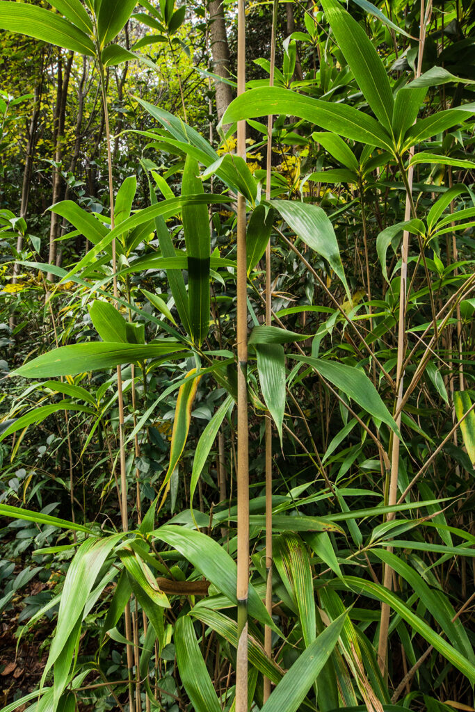
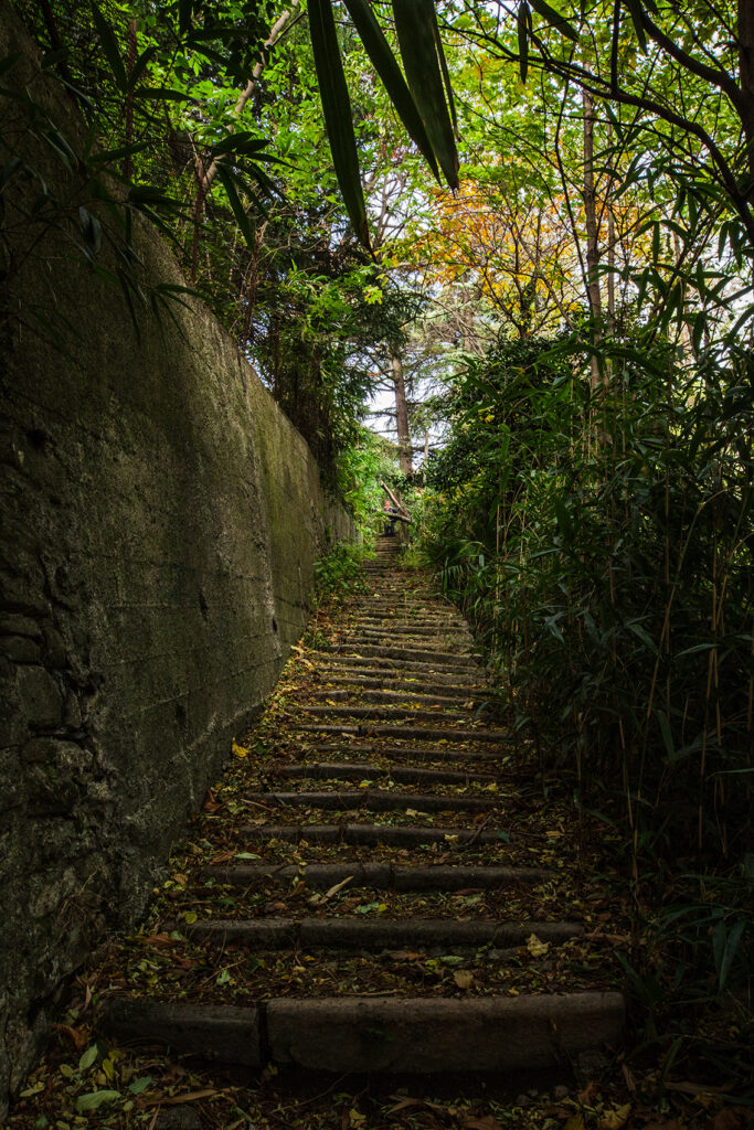
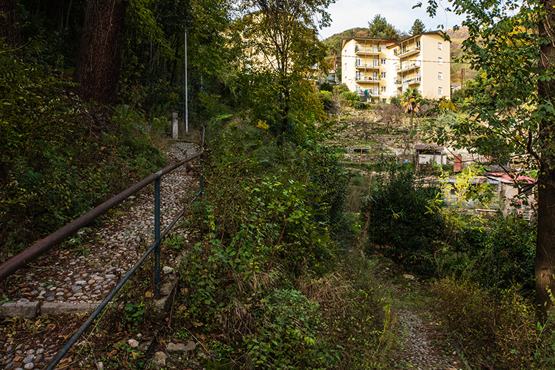
A short path that, ascending from the plain of Oliera, once agricultural and now entirely urbanized, connects to the trails leading towards Mount Bisbino. The path follows the steep escarpment, once cultivated and now wooded, which runs alongside the Greggio stream, forming a waterfall here. The Armé valley, through which it flows, until the early 1900s separated the municipality of Piazza Santo Stefano from that of Rovenna, now both merged into Cernobbio.
4
Oliera trail
Place of departure Road crossing via della Libertà con via Oliera (m 220)
Walking time About 15 minutes
Maximum altitude mt 290 confluence on Via A.Noseda
Height Difference in ascent mt 70 approx.
Difficoltà T (Touristic)
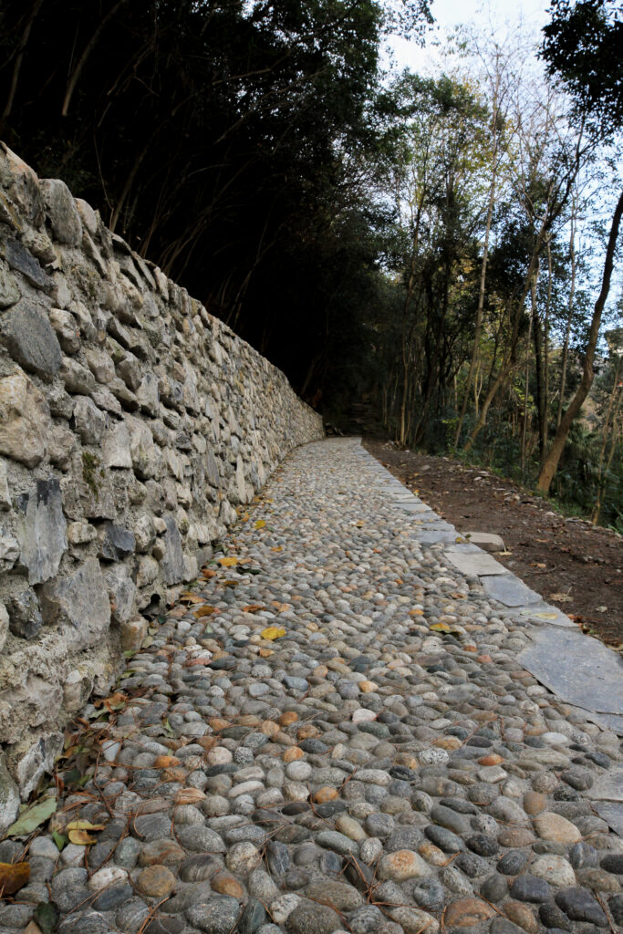
The path you are walking on, the ancient Via dell’Oliera, underwent redevelopment in 2024 as part of project 7.5.01 focused on the ENHANCEMENT OF MUNICIPAL TRAILS, BETWEEN THE LAKE AND MONTE BISBINO, under the 2020 funding program.
The restoration of the area was carried out to reconnect the Piazzale di Via della Libertà with the (former) Campo Solare school on Via Noseda. The works included paving improvements, the reconstruction of dry stone walls, vegetation clearing, the installation of signage to link nearby hamlets, and the creation of educational and rest areas.
THE REVITALIZATION OF OLIERA TRAIL
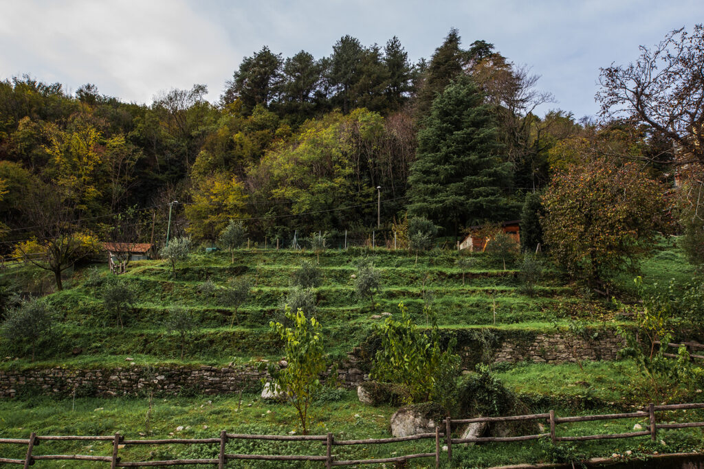
The trail you are walking on, the ancient Via dell’Oliera, underwent revitalization in 2024 as part of Project 7.5.01 for the ENHANCEMENT OF MUNICIPAL TRAILS BETWEEN LAKE AND MONTE BISBINO, funded in 2020. The restoration project aimed to reconnect the area of Piazzale di Via della Libertà with the (former) Campo Solare schools on Via Noseda. The work included resurfacing the trail, rebuilding dry-stone walls, clearing vegetation, installing signage to connect with nearby hamlets, and setting up educational and rest points. Although short, the trail passes through an area now partially covered by forest and characterized by places of historical and scenic interest, such as dry-stone walls, terraced fields, and the spectacular waterfall formed by the Greggio stream, descending from the slopes of Monte Bisbino. Previously known as the “Sentée de l’Oli,” the trail connected the hamlet of Asnigo with the town center of Cernobbio, climbing through gardens and fields referred to in 16th-century documents as “in oliverio.” These toponyms likely point to the presence of olive cultivation, documented in these areas since ancient times. In 1939, the municipality purchased “land, springs, and buildings” above the locality of Oliera to build the Campo Solare school. At that time, part of the property was still cultivated with vines. Today, the trail serves to improve pedestrian connectivity between the town center and the “upper” districts.
The places
THE FOREST AND ITS FUNCTIONS
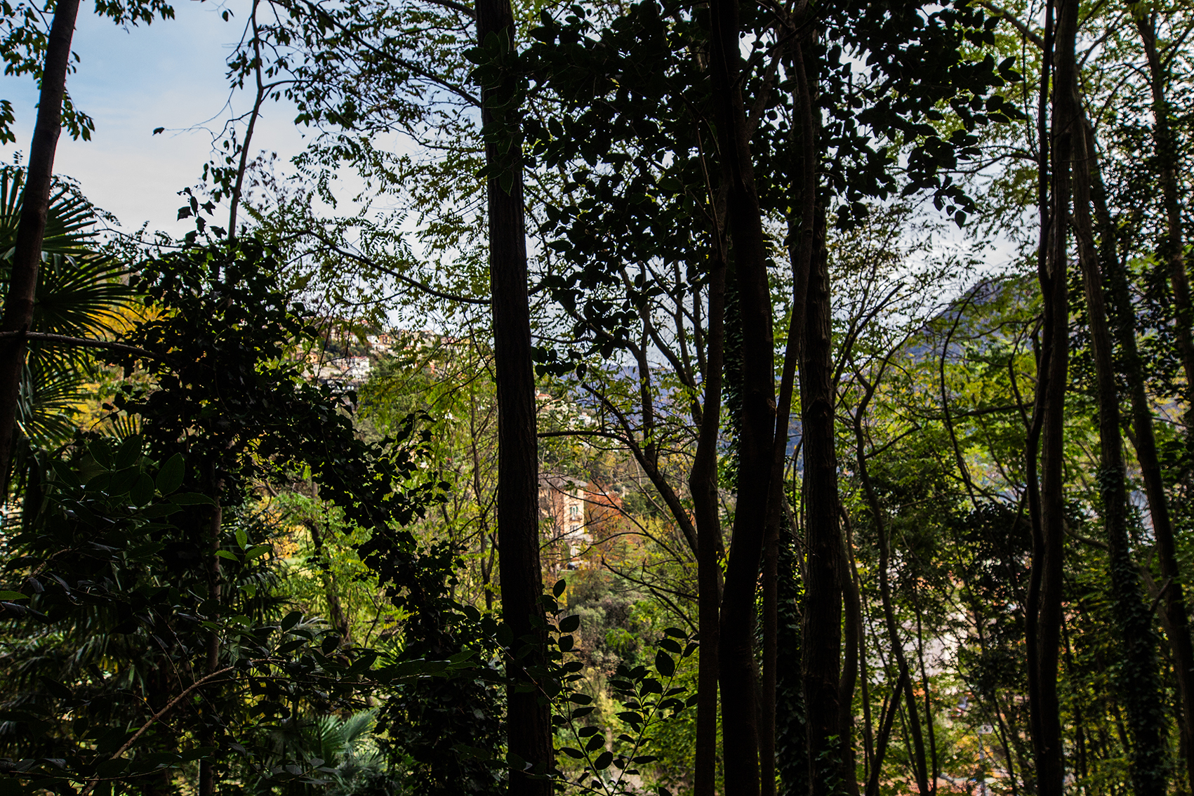
Contrary to common belief, forests do not only provide timber and raw materials but also offer a variety of benefits, ranging from protecting mountain slopes and villages to providing opportunities for relaxation and recreation under the canopy. The “Oliera Trail” crosses a small wooded area, originally created “in the past” out of necessity for connectivity but now primarily used for leisure and tourism purposes. Although the “forest” environment is characterized by a complex and diverse system with multiple functions (naturalistic, educational-recreational, scenic, productive, and protective), the forest population located above the trail can predominantly be attributed a “protective function.”
The protective function is typical of forest populations that play a significant role in water regulation and soil protection against erosion or landslides. The protective value is achieved through:
– Interception of rain and snow by the tree canopies;
– Reduction of suspended solid transport caused by surface erosion;
– Limitation or prevention of the detachment of avalanches, rocks, and debris flows;
– Increased water absorption capacity compared to bare soil.
MANAGEMENT MODELS AND GUIDELINES
hat actions and interventions should be implemented to best enhance the protective function?
Here are some practical examples:
◆ Remove unstable, dead, aged, or mechanically compromised specimens, especially those leaning downhill (these could trigger rockfalls);
◆ Preserve and promote widespread coverage of shrubs and bushy plants;
◆ Encourage a mixed uneven-aged structure, with trees of different species and ages;
◆ Monitor the soil and trees to identify and track the evolution of potential or ongoing instability;
◆ When cutting, leave a significant number of trees, even up to 600–800 trees per hectare, performing small-scale cuts to avoid exposing the soil and negatively impacting the landscape.
CLIMATE CHANGE AND LAURELIZATION
Concurrent with the spread of exotic species and the increase in average annual temperatures, there is also a change in spontaneous vegetation, which is undergoing a process of natural adaptation. This phenomenon is defined as laurelization, which is influencing the composition of current forest vegetation. Many species with evergreen leaves, such as laurel, privet, ivy, holly, some palms (Trachycarpus fortunei), and the Japanese loquat—both native and exotic—are gaining ground in vegetation belts (generally characterized by a “colder” climate) that were previously dominated by chestnut groves in hilly areas. These evergreen plants are typical of spontaneous forests mainly located in the Azores and western Canary Islands, known as “subtropical-temperate laurel forests,” from which the term laurelization originates. This noticeable expansion, observable in the understories of pre-Alpine areas near lakes, aligns with what occurs in vegetation found in warmer climate zones, as confirmed by numerous scientific studies published in recent years. Evergreen plants, due to rising temperatures, prove to be more competitive, as they can fully exploit mild winter days and mid-season periods compared to vegetation forms with a cycle marked by a dormant period involving complete loss of foliage. This drives their spread to increasingly higher altitudes. The altitudinal range affected by the laurelization process of broadleaf forests seems, for now, to be limited to elevations up to 500 meters and distances greater than about 200 meters from inhabited areas, such as residential gardens from which they spread.
EXOTIC PLANTS
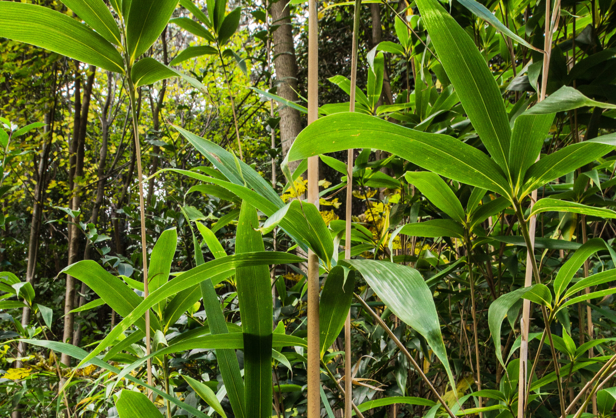
In the past century and the one before, the gardens of grand villas and botanical gardens hosted rare specimens for study, ornamentation, or collection purposes, brought from faraway lands through travels. Today, however, it is the gardens of homes and villas that host a wide variety of ornamental species. These species become sources of exotic plants that, finding suitable conditions in the woods, develop and reproduce naturally. Among the key factors driving the uncontrolled spread of these species, reproductive capacity stands out. When a plant reproduces sexually (flowering and fruiting) or vegetatively (cuttings, root suckers, etc.), two scenarios may unfold: either the exotic plants naturalize or they become invasive. In the first case, the new vegetation does not cover extensive areas and tends to expand gradually around the original generations. In the case of invasive species, however, plants can quickly cover large areas, either by dispersing large quantities of seeds or by vegetative propagation. For instance, following coppicing, root suckers sprout prolifically, each forming a new plant.
Moreover, these plants often exhibit a paradoxical ability to adapt and tolerate a wide range of environmental conditions (moisture, light, nutrients, temperature, soil). This adaptability enables their development even in degraded areas. The primary pathways for the expansion of these plants are boundary areas where the forest is sparse, such as along the Oliera Trail, where the presence of neophyte species is noticeable.

